1. Home
  2. France
  3. Grand Est
  4. Guenviller
Guenviller

Hauteur de Guenviller

Coordinates49.11478, 6.80204
Published bybenjuu
08 Aug 2020 · 12:11 AM
Community score
0

Log in to vote

Aviation weather· 04
Comments· 05

No comments yet. Be the first!

Log in to comment

Nearby spots· 06
  • CarrièreFreyming-Merlebach5.5 km
  • Carrière de FreymingFreyming-Merlebach5.5 km
  • Point HautFolkling8.8 km
  • SpicherenSpicheren15.6 km
  • Golf de SarregueminesRouhling15.9 km
  • Ancienne rotonde de BénestroffRodalbe23.8 km
  • mont saint pierreVillers-Stoncourt27 km
  • Étang Sailly AchatelSailly-Achâtel42.4 km
Live wind· 07
Windy
Hauteur de Guenviller
Pilot briefing
Difficulty
2/3
Medium
Accessibility
2/3
Moderately accessible
Description

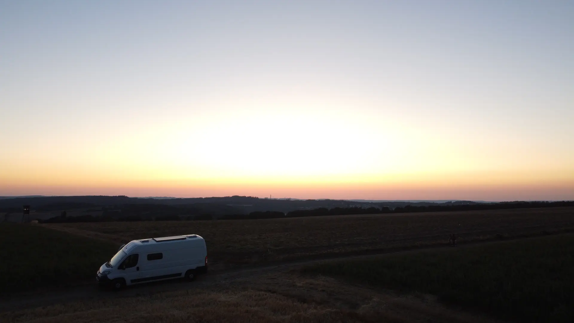
Superbe coucher de soleil ! Vu de 360 degrés ! Pas besoin d’aller très haut pour faire de beaux plans ! Coin très calme Pas du tout de vent (saison de vol: été mois août)
Restrictions here· 03
5 active rules
  • [LF][VOLTAC PHG N]Aerodrome / other · No-fly
  • Saint Avold (Macheren) — Volume 50 mAerodrome / other · ≤ ~20 m
  • RRUpcoming
  • RRUpcoming
  • RRUpcoming
Thu, Nov 12
6:10 PM
Conditions
Sunrise
Sunset
Precipitations
Temperature
KP index
Cloud cover
Wind speed
Wind gust
Visibility
Humidity
Satellites
DroneSpot Pro

Plan your flights in advance and find your windows with access to detailed 10-day forecasts showing conditions, satellites, wind, kp index, and more.