1. Home
  2. France
  3. Nouvelle-Aquitaine
  4. Saint-Léon-sur-Vézère
Saint-Léon-sur-Vézère

Côte de Jord

Coordinates45.01998, 1.07456
Published bynzo
11 Aug 2020 · 09:19 AM
Community score
0

Log in to vote

Aviation weather· 04
Comments· 05

No comments yet. Be the first!

Log in to comment

Nearby spots· 06
  • TamniesTamniès9.4 km
  • Mine abandonnéeSaint-Vincent-de-Cosse20.9 km
  • Fort de la roche gaegac La Roque-Gageac23.1 km
  • Cingle de TrémolatTrémolat25.2 km
  • Saint RobertSaint-Robert31.2 km
  • Sun flower fieldMonsaguel49.2 km
  • Vue sur rocamadoureRocamadour49.7 km
  • Abbaye de BrantomeBrantôme50.7 km
Live wind· 07
Windy
Côte de Jord
Pilot briefing
Difficulty
2/3
Medium
Accessibility
2/3
Moderately accessible
Description

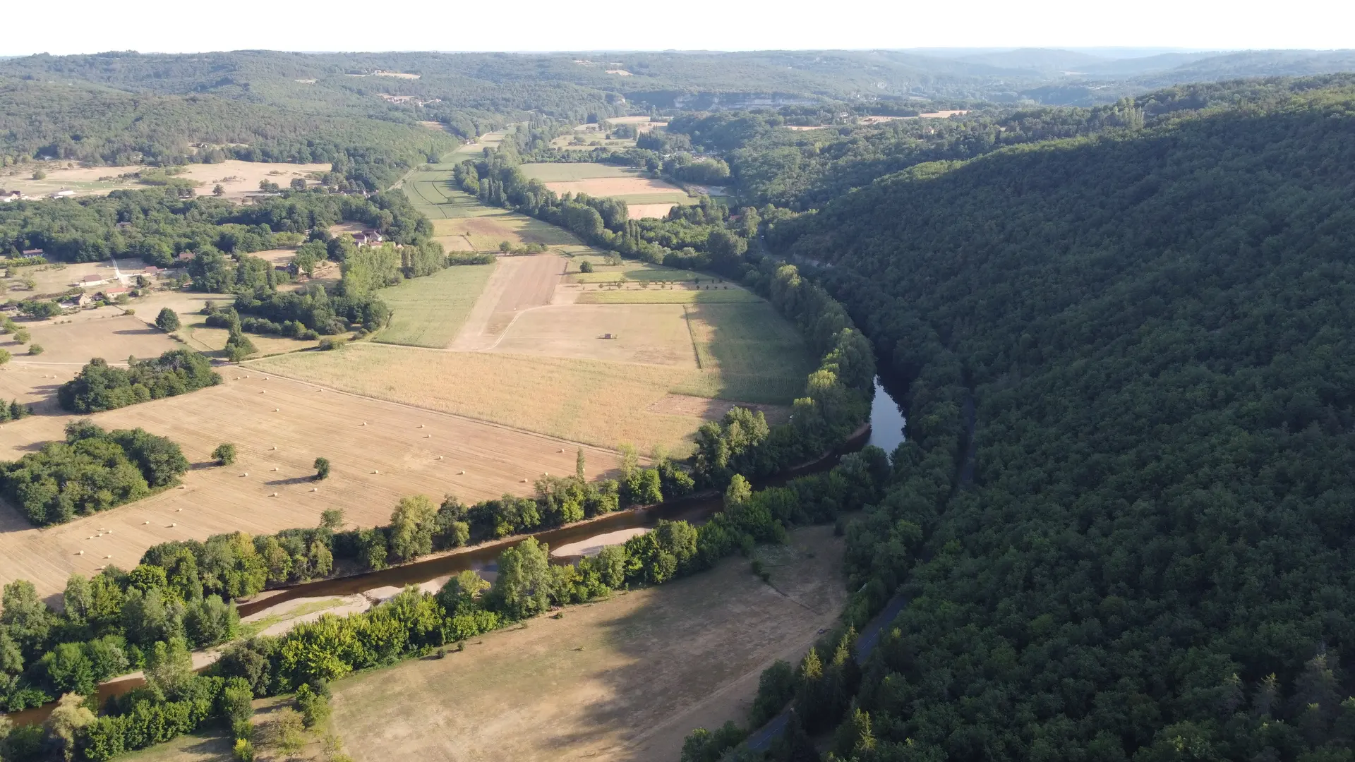
Très belle vue sur la Vézère. Accès en voiture. Beaucoup d’arbres mais ensuite très bonne visibilité du drone lors du vol au dessus du cingle de la Vézère. La limite à 50m ne pose pas de problème puisqu’on décolle 150m au dessus de la vallée.
Restrictions here· 03
1 active rule
  • [LF][SEBAH EH 01.067 B]Aerodrome / other · No-fly
Tue, Nov 10
9:40 AM
Conditions
Sunrise
Sunset
Precipitations
Temperature
KP index
Cloud cover
Wind speed
Wind gust
Visibility
Humidity
Satellites
DroneSpot Pro

Plan your flights in advance and find your windows with access to detailed 10-day forecasts showing conditions, satellites, wind, kp index, and more.