1. Home
  2. France
  3. Nouvelle-Aquitaine
  4. Tamniès
Tamniès

Tamnies

Coordinates44.96497, 1.16478
Published bytomi
11 Apr 2026 · 12:38 PM
Community score
0

Log in to vote

Categories
🌊 Plan d'eau
Aviation weather· 04
Comments· 05

No comments yet. Be the first!

Log in to comment

Nearby spots· 06
  • Côte de JordSaint-Léon-sur-Vézère9.4 km
  • Fort de la roche gaegac La Roque-Gageac15.4 km
  • Mine abandonnéeSaint-Vincent-de-Cosse15.6 km
  • Cingle de TrémolatTrémolat28.9 km
  • Saint RobertSaint-Robert33.7 km
  • Vue sur rocamadoureRocamadour40.6 km
  • Sun flower fieldMonsaguel52 km
  • Abbaye de BrantomeBrantôme60 km
Live wind· 07
Windy
Tamnies
Pilot briefing
Difficulty
2/3
Medium
Accessibility
2/3
Moderately accessible
Description

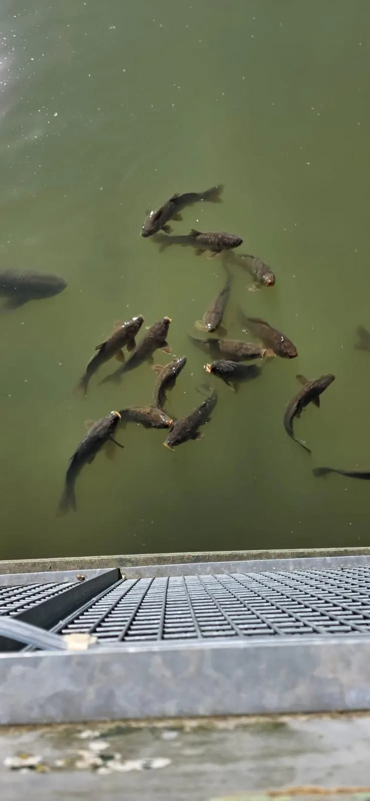
Lac

Restrictions here· 03
3 active rules
  • [LF][SEBAH EH 01.067 B]Aerodrome / other · No-fly
  • Création de Zones Réglementées Temporaires (ZRT) au profit de l'exercice TARANIS 26 en régions Centre, Bourgogne et EstSUP AIP 232/2026
  • Création de Zones Réglementées Temporaires (ZRT) au profit de l'exercice RW MC COURSE 2026, en régions CENTRE et SUD-ESTSUP AIP 236/2026
Tue, Nov 10
7:34 AM
Conditions
Sunrise
Sunset
Precipitations
Temperature
KP index
Cloud cover
Wind speed
Wind gust
Visibility
Humidity
Satellites
DroneSpot Pro

Plan your flights in advance and find your windows with access to detailed 10-day forecasts showing conditions, satellites, wind, kp index, and more.