1. Home
  2. France
  3. Normandie
  4. Tourgéville
Tourgéville

P7s

Coordinates49.35731, 0.05645
Published byVisiteur web
09 Oct 2020 · 06:31 PM
Community score
0

Log in to vote

Aviation weather· 04
Flight footage· 05
Comments· 06

No comments yet. Be the first!

Log in to comment

Nearby spots· 07
  • Mer TrouvilleDeauville1.6 km
  • Plage de VILLER sur MerVillers-sur-Mer6.3 km
  • Falaises des vaches noiresAuberville6.8 km
  • Les vaches noirsAuberville7.5 km
  • Villerville plageCricquebœuf7.6 km
  • Embouchure de la DivesCabourg12.5 km
  • Plage de honfleurHonfleur13.7 km
  • Mer avant HonfleurHonfleur13.9 km
Live wind· 08
Windy
P7s
Pilot briefing
Difficulty
1/3
Beginner
Accessibility
1/3
Easy to access
Description

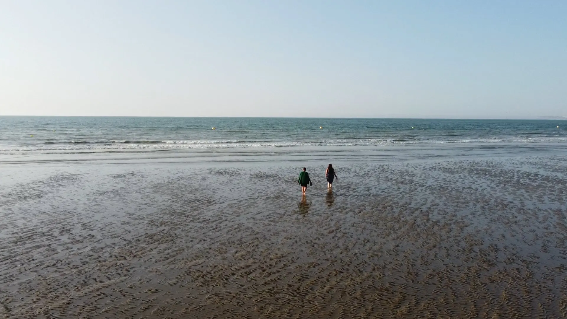
Plage de Deauville

Can I fly here?· 03

50 m maximum

You can fly up to 50 m above the ground.

Max height : 50 m

  • [LF][CTR DEAUVILLE]Conditional

    The zone starts 50 m above the ground: stay below it.

  • NOTAM P3528/26No known restriction

    NOTAM in force at this spot. Read it before flying.

  • TROUVILLE SUR MERNo known restriction

    NOTAM in force at this spot. Read it before flying.

A local order (prefecture, town hall) may also restrict flying. Stay alert on site.

Computed on November 15 at 12:54 AM

See on the map
Sat, Nov 14
11:54 PM
Conditions
Sunrise
Sunset
Precipitations
Temperature
KP index
Cloud cover
Wind speed
Wind gust
Visibility
Humidity
Satellites
DroneSpot Pro

Plan your flights in advance and find your windows with access to detailed 10-day forecasts showing conditions, satellites, wind, kp index, and more.