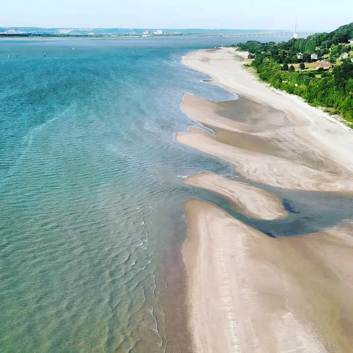
vue sur la digue et honfleur avec le pont de Normandie en arrière plan
No comments yet. Be the first!
vue sur la digue et honfleur avec le pont de Normandie en arrière plan
50 m maximum
You can fly up to 50 m above the ground.
Max height : 50 m
The zone starts 50 m above the ground: stay below it.
The DGAC restrictions map limits flight height to 50 m.
NOTAM in force at this spot. Read it before flying.
NOTAM in force at this spot. Read it before flying.
Protected area with no known overflight ban. Respect wildlife and plants.
Protected area with no known overflight ban. Respect wildlife and plants.
A local order (prefecture, town hall) may also restrict flying. Stay alert on site.
Computed on November 22 at 12:30 AM
See on the mapPlan your flights in advance and find your windows with access to detailed 10-day forecasts showing conditions, satellites, wind, kp index, and more.