1. Home
  2. France
  3. Corse
  4. Bonifacio
Bonifacio

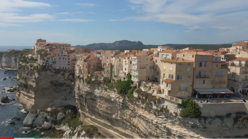
Mavic air 2 a bonnifaccio

Coordinates41.38568, 9.16856
Published byjpeg44
14 Feb 2021 · 09:40 PM
Community score
0

Log in to vote

Aviation weather· 04
Flight footage· 05
Comments· 06

No comments yet. Be the first!

Log in to comment

Nearby spots· 07
  • BonifacioBonifacio< 1 km
  • Côte de BonifacioBonifacio< 1 km
  • Baie de FigariFigari10.2 km
  • Baie de rondinaraBonifacio12.3 km
  • Baie de rondinaraBonifacio12.5 km
  • 🌊Levie25.6 km
  • 🪨 Sainte-Lucie-de-Tallano30.6 km
  • Plage de St CyprienLecci32.1 km
Live wind· 08
Windy
Mavic air 2 a bonnifaccio
Pilot briefing
Difficulty
2/3
Medium
Accessibility
2/3
Moderately accessible
Description

Vol le long de la côte de Bonnifaccio
Can I fly here?· 03

To confirm: temporary area

A temporary area published by NOTAM or AIP SUP may cover this spot. Check its exact outline before flying.

Max height : 120 m

  • SUP AIP 052/2026To be confirmed

    Temporary prohibited area in force.

  • NOTAM M3619/26No known restriction

    NOTAM in force at this spot. Read it before flying.

  • FALAISES DE BONIFACIONo known restriction

    Protected area with no known overflight ban. Respect wildlife and plants.

  • Plateau de Pertusato/ Bonifacio et îles LavezziNo known restriction

    Protected area with no known overflight ban. Respect wildlife and plants.

A local order (prefecture, town hall) may also restrict flying. Stay alert on site.

Computed on November 15 at 01:12 AM

See on the map
Sun, Nov 15
12:12 AM
Conditions
Sunrise
Sunset
Precipitations
Temperature
KP index
Cloud cover
Wind speed
Wind gust
Visibility
Humidity
Satellites
DroneSpot Pro

Plan your flights in advance and find your windows with access to detailed 10-day forecasts showing conditions, satellites, wind, kp index, and more.