1. Home
  2. Belgique
  3. Hainaut
  4. Châtelet
Châtelet

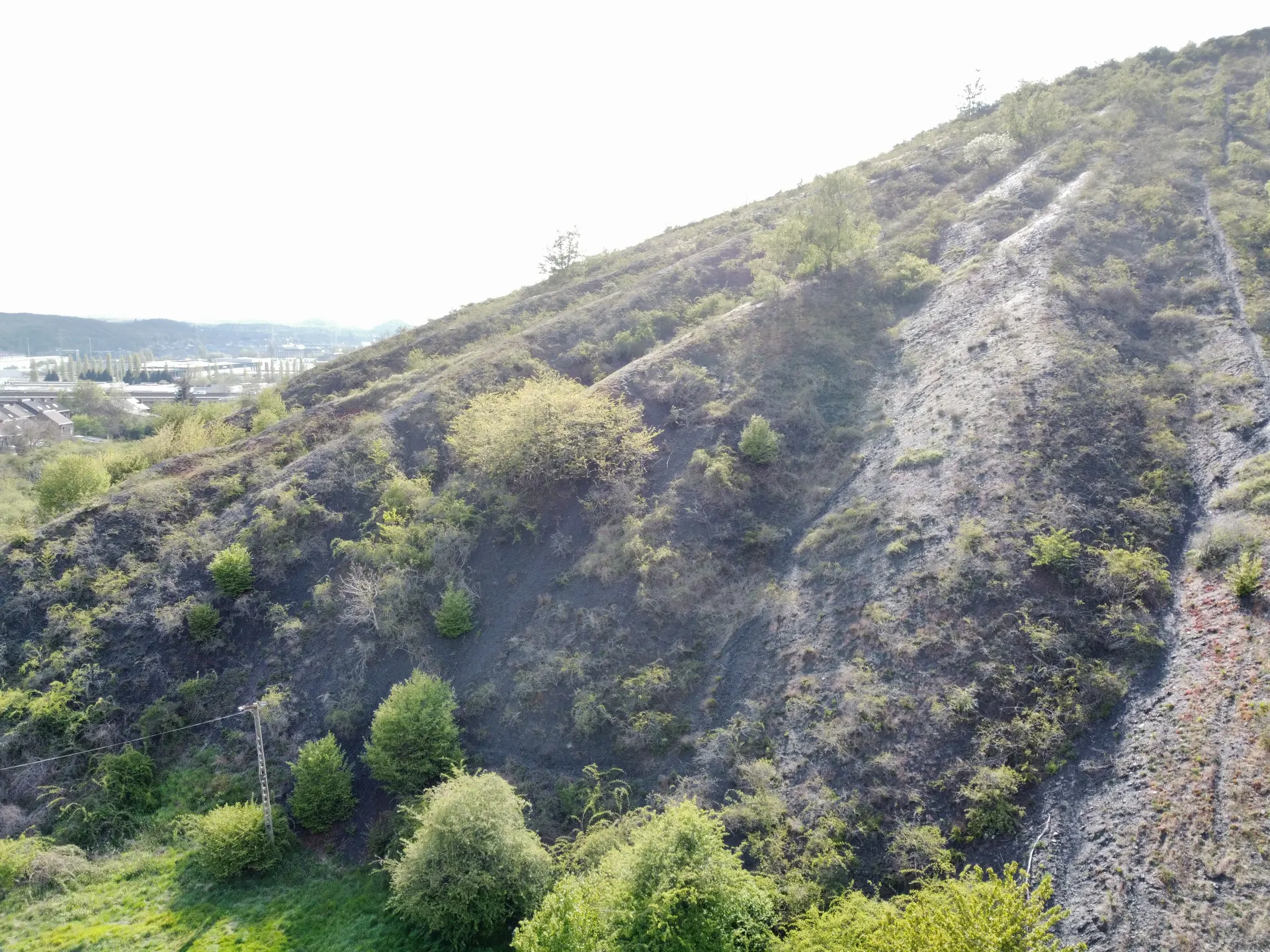
Terril du pays bas

Coordinates50.40905, 4.50115
Published bytazthedevil
10 May 2021 · 06:20 PM
Community score
0

Log in to vote

Aviation weather· 04
Comments· 05

No comments yet. Be the first!

Log in to comment

Nearby spots· 06
  • Ham-sur-Heure-Nalinnes - HainautGerpinnes7.1 km
  • Centrale électrique abandonnéeCharleroi8.8 km
  • Centrale électrique abandonnée Charleroi8.8 km
  • I campiMons34.1 km
  • Chemin de fer des 3 vallées mariembourgCouvin34.9 km
  • Quenast - RebecqRebecq36.8 km
  • Assesse pont autorouteAssesse37.6 km
  • Roux-Miroir (village)Incourt38.8 km
Live wind· 07
Windy
Terril du pays bas
Pilot briefing
Difficulty
2/3
Medium
Accessibility
2/3
Moderately accessible
Description

Terrain de foot au pied du terril pour décollage vue sur chatelet et Charleroi
Restrictions here· 03

No known restrictions at this point.

Always cross-check before flying — coverage depends on your country's published data.

 
--:--
Conditions
Sunrise
Sunset
Precipitations
Temperature
KP index
Cloud cover
Wind speed
Wind gust
Visibility
Humidity
Satellites
Drone Spot Pro

Plan your flights in advance and find your windows with access to detailed 10-day forecasts showing conditions, satellites, wind, kp index, and more.