1. Home
  2. France
  3. Bretagne
  4. Ille-et-Vilaine
  5. Liffré
Liffré

Étang de sérigné

Coordinates48.20582, -1.48416
Published byVisiteur web
11 Sep 2021 · 08:51 PM
Community score
0

Log in to vote

Aviation weather· 04
Flight footage· 05
Comments· 06

No comments yet. Be the first!

Log in to comment

Nearby spots· 07
  • Forêt et étang de la CorbièreMarpiré12.4 km
  • Plan d'eau de la CantacheMontreuil-sous-Pérouse18.1 km
  • Etang du BouletFeins19.3 km
  • Air de vol de drone en forêt de l'association Spirale35Amanlis22.8 km
  • Champs DingéDingé24.2 km
  • Champs aux animauxDingé24.5 km
  • Champs de ColzasDingé24.7 km
  • Etang de BourgbarréBourgbarré25 km
Live wind· 08
Windy
Étang de sérigné
Pilot briefing
Difficulty
1/3
Beginner
Accessibility
1/3
Easy to access
Description

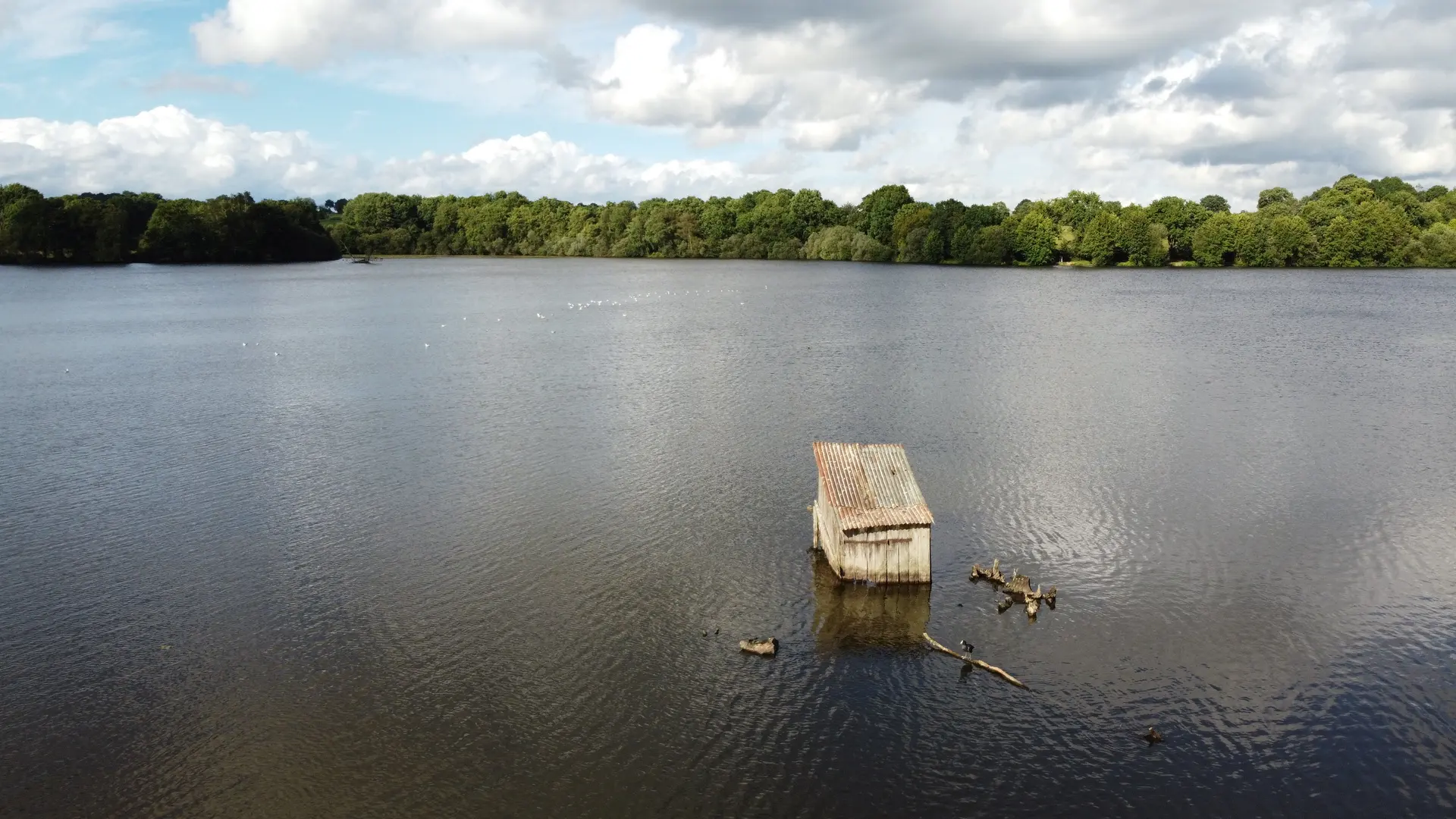
Étang de sérigné à coté de Liffré. Endroit sympa avec une petite cabane dans l'eau. Impossible de faire le tour de l'étang.
Can I fly here?· 03

Conditional: aerodrome agreement

Near an aerodrome, flying above the height shown requires the agreement of its operator or of air traffic control.

Max height : 88 m

  • Near an aerodromeConditional

    Above 88 m, the flight requires the agreement of the aerodrome operator or of air traffic control.

A local order (prefecture, town hall) may also restrict flying. Stay alert on site.

Computed on November 19 at 10:18 PM

See on the map
 
--:--
Conditions
Sunrise
Sunset
Precipitations
Temperature
KP index
Cloud cover
Wind speed
Wind gust
Visibility
Humidity
Satellites
Drone Spot Pro

Plan your flights in advance and find your windows with access to detailed 10-day forecasts showing conditions, satellites, wind, kp index, and more.