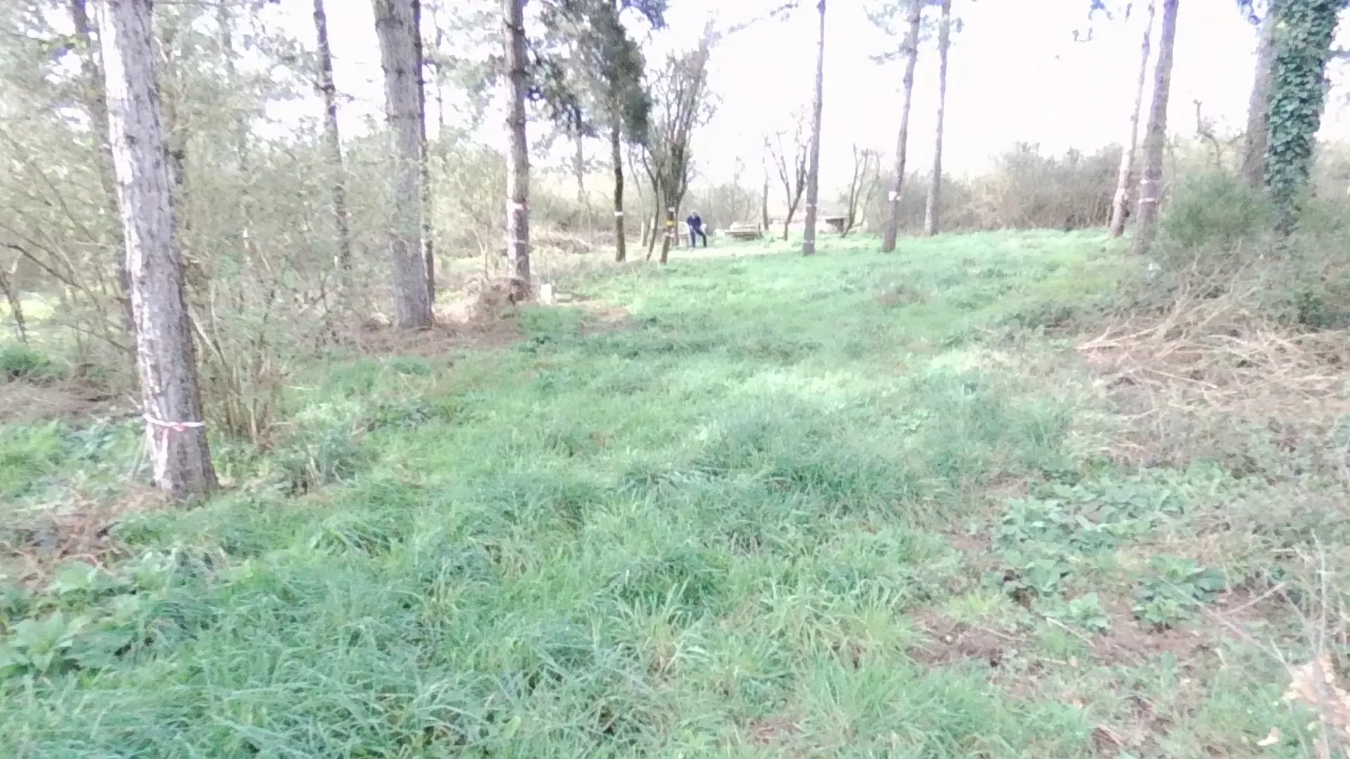
C'est un site déclaré et géré par l'association d'aéromodélisme Spirale35. Zone dans un bois. Sécurisé (grillage), chaises, balisage sur les arbres, etc.
No comments yet. Be the first!
C'est un site déclaré et géré par l'association d'aéromodélisme Spirale35. Zone dans un bois. Sécurisé (grillage), chaises, balisage sur les arbres, etc.
Forbidden, except club members and guests
You are on a model flying site. Flights there are reserved for club members and their guests.
Max height : —
Model flying site: flights are reserved for club members and their guests. Without the club’s approval, you cannot fly here.
Above 27 m, the flight requires the agreement of the aerodrome operator or of air traffic control.
A local order (prefecture, town hall) may also restrict flying. Stay alert on site.
Computed on November 19 at 10:18 PM
See on the mapPlan your flights in advance and find your windows with access to detailed 10-day forecasts showing conditions, satellites, wind, kp index, and more.