1. Home
  2. France
  3. Occitanie
  4. Pyrénées-Orientales
  5. Serralongue
Serralongue

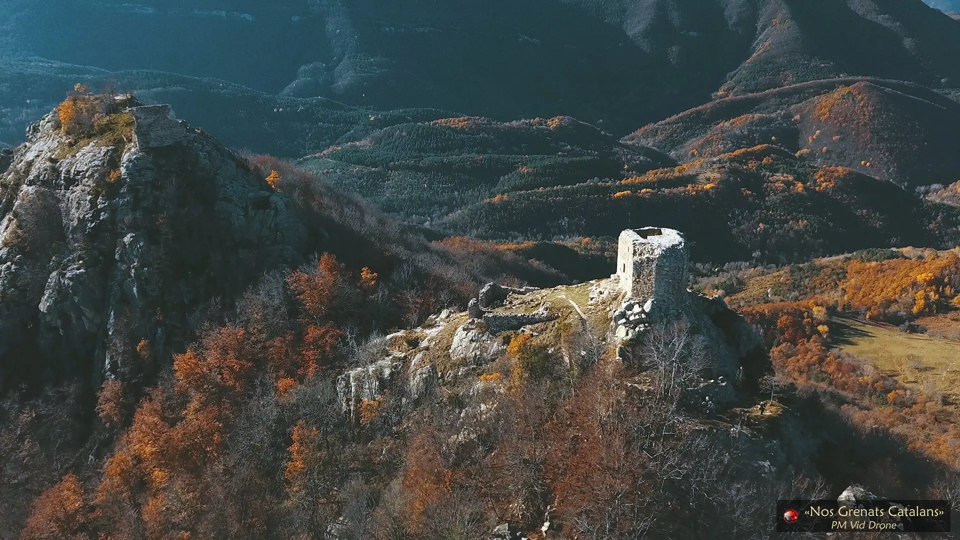
Tour de Cabrenç, 1ère partie

Coordinates42.36665, 2.54233
Published bypmviddrone
10 Sep 2018 · 12:00 AM
Community score
0

Log in to vote

Aviation weather· 04
Comments· 05

No comments yet. Be the first!

Log in to comment

Nearby spots· 06
  • Tour de Cabrenç, 2ème partieLamanère< 1 km
  • Chapelle de Sant MartiCorsavy11.9 km
  • Abbaye de Saint Martin du CanigóCasteil21.4 km
  • Tour de GoaCasteil22 km
  • Eolienne du Château d'AubiryCéret24.6 km
  • Vernet les Bains avec le CanigóVernet-les-Bains25.1 km
  • Prieuré de SerrabonaBoule-d'Amont26.4 km
  • Abbaye de Saint Michel de CuxaCodalet27.4 km
Live wind· 07
Windy
Tour de Cabrenç, 1ère partie
Pilot briefing
Difficulty
1/3
Beginner
Accessibility
3/3
Difficult to access
Description

Composé de 3 éléments. Un ancien château et ses villageois étaient venus se percher ici. Depuis le village de Lamanère, une randonnée de 2h00 à peu près. Plutôt tôt le matin car le lieu est soumis à de fortes turbulences, si c'est pas la Tramontane, il y a de forts mouvements d'airs dus au phénomène de la Brise de Vallée, accélérée par effet venturi...
Can I fly here?· 03

Flight allowed

No regulated zone at this spot. Fly up to 120 m, in daylight, with your drone in sight, away from people.

Max height : 120 m

A local order (prefecture, town hall) may also restrict flying. Stay alert on site.

Computed on November 21 at 07:32 PM

See on the map
 
--:--
Conditions
Sunrise
Sunset
Precipitations
Temperature
KP index
Cloud cover
Wind speed
Wind gust
Visibility
Humidity
Satellites
Drone Spot Pro

Plan your flights in advance and find your windows with access to detailed 10-day forecasts showing conditions, satellites, wind, kp index, and more.