1. Home
  2. France
  3. Bretagne
  4. Montreuil-sous-Pérouse
Montreuil-sous-Pérouse

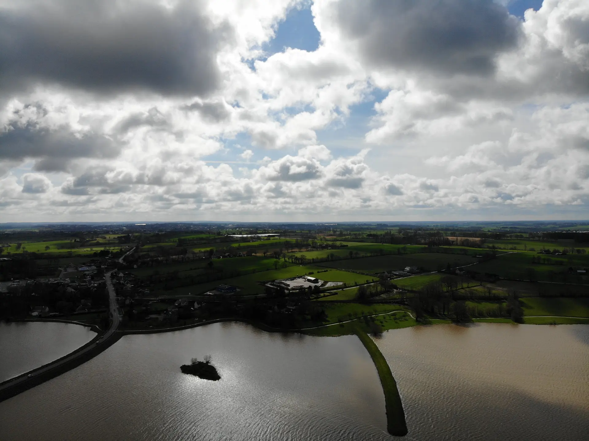
Plan d'eau de la Cantache

Coordinates48.14520, -1.25829
Published bysierradelta
12 Sep 2018 · 12:00 AM
Community score
0

Log in to vote

Aviation weather· 04
Comments· 05

No comments yet. Be the first!

Log in to comment

Nearby spots· 06
  • Forêt et étang de la CorbièreMarpiré6.8 km
  • Plan d eau de la valiereErbrée9.1 km
  • Plan d'eau de la Valière - château des RochersÉtrelles10 km
  • Plan d eau haute vilaineLa Chapelle-Erbrée11.9 km
  • Étang de sérignéLiffré18.1 km
  • Air de vol de drone en forêt de l'association Spirale35Amanlis22.2 km
  • Abbaye de ClermontOlivet24.6 km
  • Etang de BourgbarréBourgbarré30.9 km
Live wind· 07
Windy
Plan d'eau de la Cantache
Pilot briefing
Difficulty
1/3
Beginner
Accessibility
1/3
Easy to access
Description

Spot très sympa pour faire de belles photos et vidéos.
Restrictions here· 03
1 active rule
  • RRUpcoming
Tue, Nov 10
5:18 PM
Conditions
Sunrise
Sunset
Precipitations
Temperature
KP index
Cloud cover
Wind speed
Wind gust
Visibility
Humidity
Satellites
DroneSpot Pro

Plan your flights in advance and find your windows with access to detailed 10-day forecasts showing conditions, satellites, wind, kp index, and more.