1. Home
  2. France
  3. Nouvelle-Aquitaine
  4. Gironde
  5. Le Verdon-sur-Mer
Le Verdon-sur-Mer

Blaukos

Coordinates45.52958, -1.11182
Published byanatolepilot
09 Aug 2022 · 07:51 PM
Community score
0

Log in to vote

Aviation weather· 04
Comments· 05

No comments yet. Be the first!

Log in to comment

Nearby spots· 06
  • Plage des CantinesLe Verdon-sur-Mer< 1 km
  • Plage des CantinesLe Verdon-sur-Mer1.2 km
  • Phare de Cordouan7.9 km
  • Vestiges mur de l'atlantiqueSaint-Georges-de-Didonne10.8 km
  • PhareSaint-Georges-de-Didonne11 km
  • Plage des VergnesMeschers-sur-Gironde11.5 km
  • EstuaireMeschers-sur-Gironde14.2 km
  • Carrelets de Port maranArces15 km
Live wind· 07
Windy
Blaukos
Pilot briefing
Difficulty
2/3
Medium
Accessibility
2/3
Moderately accessible
Description

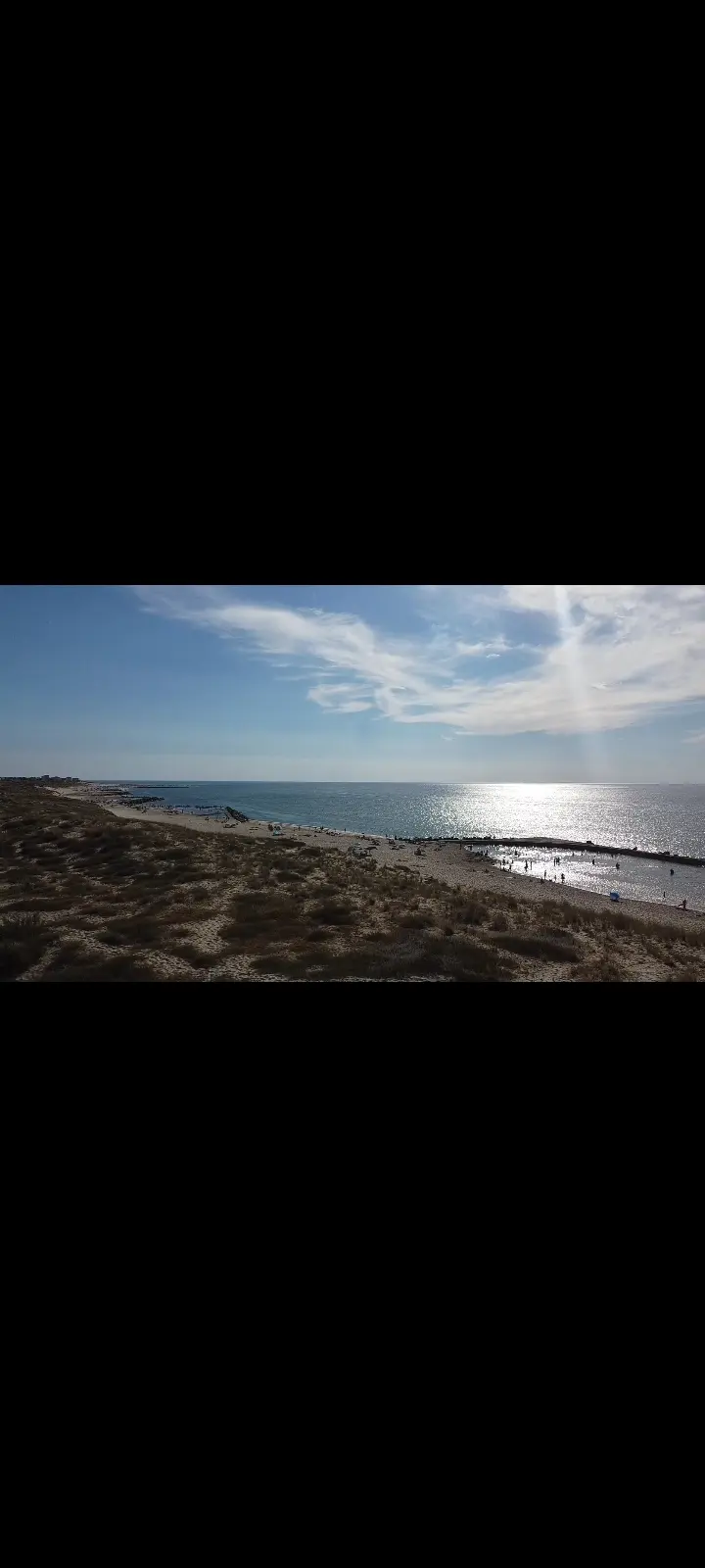
C'est un bon spot pour une vue vue sur la mer et les blaukos, faite quand même attention au sable et à la limite de vol
Can I fly here?· 03

To confirm: temporary area

A temporary area published by NOTAM or AIP SUP may cover this spot. Check its exact outline before flying.

Max height : 38 m

  • SUP AIP 207/2025To be confirmed

    Temporary restricted area in force: no flying without the approval of its operator.

  • Near an aerodromeConditional

    Above 38 m, the flight requires the agreement of the aerodrome operator or of air traffic control.

A local order (prefecture, town hall) may also restrict flying. Stay alert on site.

Computed on November 16 at 01:38 PM

See on the map
Mon, Nov 16
12:38 PM
Conditions
Sunrise
Sunset
Precipitations
Temperature
KP index
Cloud cover
Wind speed
Wind gust
Visibility
Humidity
Satellites
DroneSpot Pro

Plan your flights in advance and find your windows with access to detailed 10-day forecasts showing conditions, satellites, wind, kp index, and more.