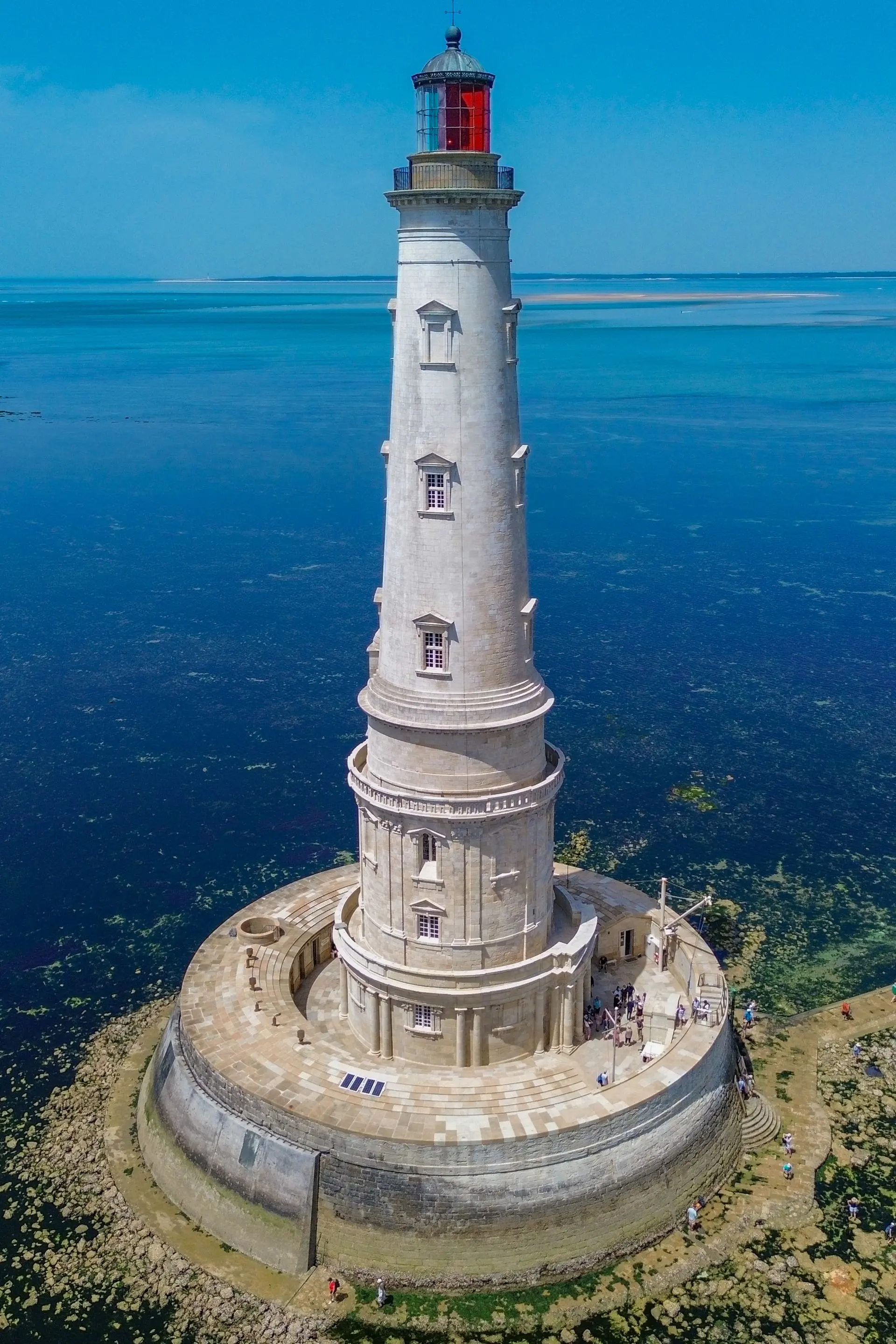
Le plus beau phare d'Europe, accessible qu'en bateau. Zone sans restriction mais attention, zone naturelle et monument historique. C'est un lieu à respecter. Il peut y avoir du vent étant donné qu'il est en pleine mer.
No comments yet. Be the first!
Le plus beau phare d'Europe, accessible qu'en bateau. Zone sans restriction mais attention, zone naturelle et monument historique. C'est un lieu à respecter. Il peut y avoir du vent étant donné qu'il est en pleine mer.
To confirm: temporary area
A temporary area published by NOTAM or AIP SUP may cover this spot. Check its exact outline before flying.
Max height : 120 m
Temporary restricted area in force: no flying without the approval of its operator.
Protected area with no known overflight ban. Respect wildlife and plants.
A local order (prefecture, town hall) may also restrict flying. Stay alert on site.
Computed on November 16 at 01:32 PM
See on the mapPlan your flights in advance and find your windows with access to detailed 10-day forecasts showing conditions, satellites, wind, kp index, and more.