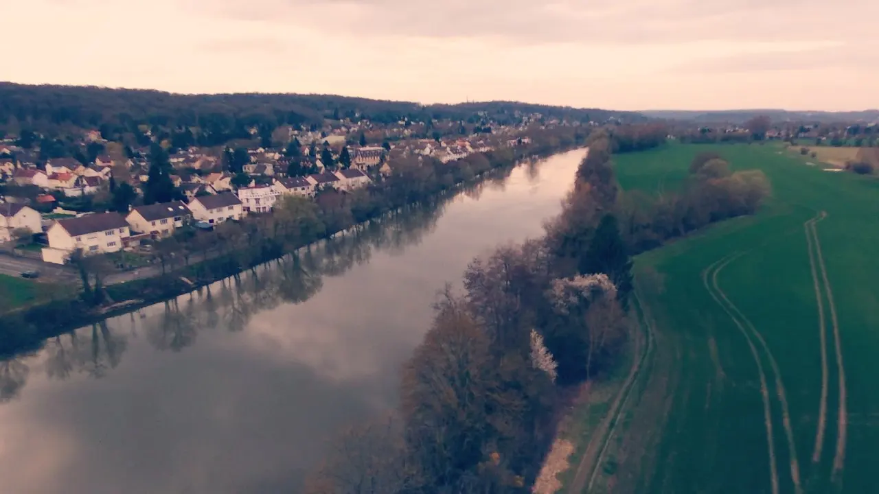
Accessible par un chemin de terre, plans de l'Oise avec les villes et les champs alentours, faire attention aux arbres situés sur les rives, vent assez faible. Belles images.
No comments yet. Be the first!
Accessible par un chemin de terre, plans de l'Oise avec les villes et les champs alentours, faire attention aux arbres situés sur les rives, vent assez faible. Belles images.
Prohibited
At least one restriction prohibits flying at this spot.
Max height : —
No-fly zone from the ground up.
NOTAM in force at this spot. Read it before flying.
A local order (prefecture, town hall) may also restrict flying. Stay alert on site.
Computed on November 16 at 03:08 PM
See on the mapPlan your flights in advance and find your windows with access to detailed 10-day forecasts showing conditions, satellites, wind, kp index, and more.