1. Home
  2. France
  3. Île-de-France
  4. Méry-sur-Oise
Méry-sur-Oise

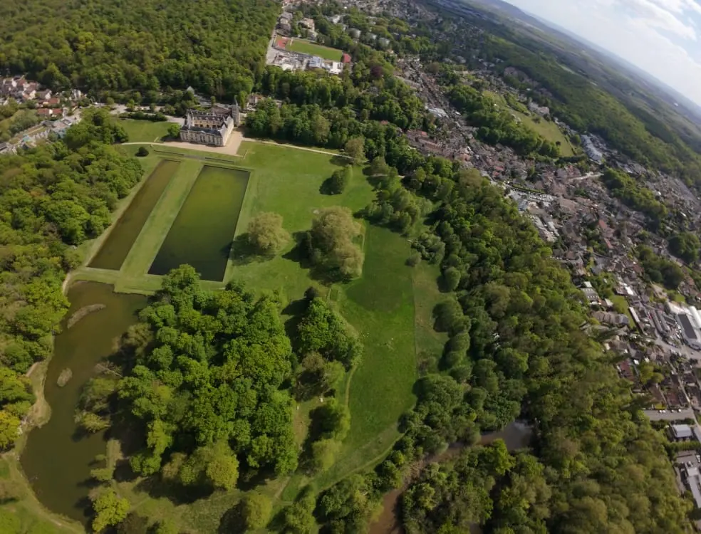
Au dessus de l’eau

Coordinates49.06912, 2.18618
Published bybaptistee_bhm
21 Apr 2026 · 02:44 PM
Community score
0

Log in to vote

Categories
🌊 Plan d'eau🌳 Arbres
Aviation weather· 04
Comments· 05

No comments yet. Be the first!

Log in to comment

Nearby spots· 06
  • Château de MérielMéry-sur-Oise< 1 km
  • valmondoisValmondois2.4 km
  • Urbex dans les champs à Villiers AdamVilliers-Adam2.8 km
  • Cimetière de Villiers AdamVilliers-Adam3.2 km
  • L'OiseL'Isle-Adam3.9 km
  • ChampsChauvry5.3 km
  • Beauchamp - Val-d'OiseBeauchamp5.6 km
  • Barrage l’isle AdamParmain5.9 km
Live wind· 07
Windy
Au dessus de l’eau
Pilot briefing
Difficulty
2/3
Medium
Accessibility
2/3
Moderately accessible
Description

Un peut de vent, mais ça reste un spot super agréable, avec ce beau château, deux étangs et l’Oise. Attention, beaucoup de passages de piétons.
Restrictions here· 03
3 active rules
  • [LF][R 324] VEILLE REGION PARISIENNERestricted · No-fly
  • Hélistation SAINT OUEN L'AUMONE HELIPORT (HELI INDUSTRIES)Aerodrome / other · ≤ ~116 m
  • RTUpcoming
Tue, Nov 10
5:11 AM
Conditions
Sunrise
Sunset
Precipitations
Temperature
KP index
Cloud cover
Wind speed
Wind gust
Visibility
Humidity
Satellites
DroneSpot Pro

Plan your flights in advance and find your windows with access to detailed 10-day forecasts showing conditions, satellites, wind, kp index, and more.