1. Home
  2. France
  3. Auvergne-Rhône-Alpes
  4. Rhône
  5. Vaulx-en-Velin
Vaulx-en-Velin

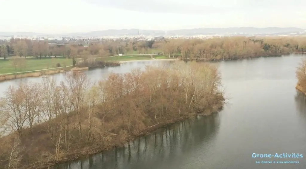
Observatoire de la Presqu'île - Lac de Miribel Jonage (69)

Coordinates45.80253, 4.96007
Published bymgdrones
10 Mar 2024 · 04:33 PM
Community score
0

Log in to vote

Categories
🌊 Plan d'eau
Aviation weather· 04
Flight footage· 05
Comments· 06

No comments yet. Be the first!

Log in to comment

Nearby spots· 07
  • Lac des eaux bleuesDécines-Charpieu< 1 km
  • île des AllivozDécines-Charpieu1.5 km
  • Parc de la feyssineVilleurbanne6.8 km
  • ChampsGenas7.4 km
  • Etang de Mathan - Genas (69)Genas7.6 km
  • La Madone de FleurieuFleurieu-sur-Saône10.4 km
  • Haut de Saint RomainSaint-Romain-au-Mont-d'Or11.1 km
  • ChampsSaint-Bonnet-de-Mure13.6 km
Live wind· 08
Windy
Observatoire de la Presqu'île - Lac de Miribel Jonage (69)
Pilot briefing
Difficulty
2/3
Medium
Accessibility
1/3
Easy to access
Description

L'observatoire de la la Presqu'île permet un joli point de vue sur le lac des Eaux Bleues et son étendue d'eau.
Can I fly here?· 03

50 m maximum

You can fly up to 50 m above the ground.

Max height : 50 m

  • [LF][CTR BRON]Conditional

    The zone starts 50 m above the ground: stay below it.

  • Height limited to 55 mConditional

    The DGAC restrictions map limits flight height to 55 m.

  • LYON BRONNo known restriction

    NOTAM in force at this spot. Read it before flying.

  • NOTAM P3734/26No known restriction

    NOTAM in force at this spot. Read it before flying.

  • Pelouses, milieux alluviaux et aquatiques de l'île de Miribel-JonageNo known restriction

    Protected area with no known overflight ban. Respect wildlife and plants.

A local order (prefecture, town hall) may also restrict flying. Stay alert on site.

Computed on November 16 at 12:57 PM

See on the map
Mon, Nov 16
11:57 AM
Conditions
Sunrise
Sunset
Precipitations
Temperature
KP index
Cloud cover
Wind speed
Wind gust
Visibility
Humidity
Satellites
DroneSpot Pro

Plan your flights in advance and find your windows with access to detailed 10-day forecasts showing conditions, satellites, wind, kp index, and more.