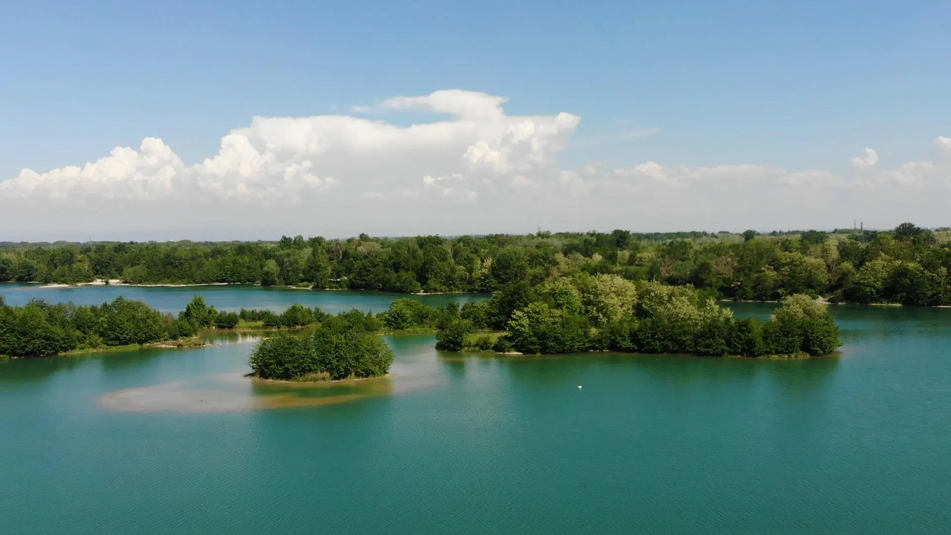
Lac des eaux bleues avec des îles sur des étendues d'eaux. Attention juste beaucoup de gens en été sur les chemins et les plages. Pilotage très facile. Parking pour garer la voiture.
No comments yet. Be the first!
Lac des eaux bleues avec des îles sur des étendues d'eaux. Attention juste beaucoup de gens en été sur les chemins et les plages. Pilotage très facile. Parking pour garer la voiture.
Conditional: aerodrome agreement
Near an aerodrome, flying above the height shown requires the agreement of its operator or of air traffic control.
Max height : 50 m
Above 58 m, the flight requires the agreement of the aerodrome operator or of air traffic control.
The zone starts 50 m above the ground: stay below it.
NOTAM in force at this spot. Read it before flying.
NOTAM in force at this spot. Read it before flying.
Protected area with no known overflight ban. Respect wildlife and plants.
A local order (prefecture, town hall) may also restrict flying. Stay alert on site.
Computed on November 21 at 06:02 PM
See on the mapPlan your flights in advance and find your windows with access to detailed 10-day forecasts showing conditions, satellites, wind, kp index, and more.