1. Home
  2. France
  3. Grand Est
  4. Fort-Louis
Fort-Louis

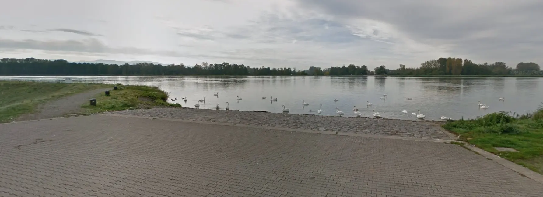
Le Rhin

Coordinates48.79129, 8.05405
Published bytarmire
20 Mar 2018 · 12:00 AM
Community score
0

Log in to vote

Categories
🌊 Plan d'eau
Aviation weather· 04
Comments· 05

No comments yet. Be the first!

Log in to comment

Nearby spots· 06
  • Wörth am Rhein - GermersheimWörth am Rhein34.2 km
  • Südliche Weinstraße - Rheinland-PfalzFlemlingen51.4 km
  • Plan d’eau à Huttenheim Bas-RinHuttenheim60.7 km
  • Château du NideckOberhaslach61.3 km
  • Temple du DononGrandfontaine72.3 km
  • Château du rammsteinScherwiller73.6 km
  • Château De l'OrtenbourgScherwiller73.6 km
  • Viaduc de FoudayPlaine75.5 km
Live wind· 07
Windy
Le Rhin
Pilot briefing
Difficulty
3/3
Hard Level
Accessibility
1/3
Easy to access
Description

Malgré la limitation de 50m. Vous pourrez venir admirer le Rhin et ses bateaux
Can I fly here?· 03

To confirm: protected area

A protected area covers this point. Check its overflight rule before flying.

Max height : 50 m

  • Le RhinTo be confirmed

    An overflight rule may apply in this protected area.

  • [LF-ED][CTR KARLSRUHE BADEN]Conditional

    The zone starts 50 m above the ground: stay below it.

  • Height limited to 50 mConditional

    The DGAC restrictions map limits flight height to 50 m.

  • Vallée du Rhin de Lauterbourg à StrasbourgNo known restriction

    Protected area with no known overflight ban. Respect wildlife and plants.

A local order (prefecture, town hall) may also restrict flying. Stay alert on site.

Computed on November 15 at 01:02 AM

See on the map
Sun, Nov 15
12:02 AM
Conditions
Sunrise
Sunset
Precipitations
Temperature
KP index
Cloud cover
Wind speed
Wind gust
Visibility
Humidity
Satellites
DroneSpot Pro

Plan your flights in advance and find your windows with access to detailed 10-day forecasts showing conditions, satellites, wind, kp index, and more.