1. Home
  2. France
  3. Hauts-de-France
  4. Elnes
Elnes

Le Mont

Coordinates50.69706, 2.14339
Published byjpaa
30 Mar 2025 · 01:40 PM
Community score
0

Log in to vote

Categories
➰ Freestyle🌳 Arbres🏁 Racing
Aviation weather· 04
Comments· 05

No comments yet. Be the first!

Log in to comment

Nearby spots· 06
  • Drone Moulin Lebriez - Mentque NortbécourtMentque-Nortbécourt8.4 km
  • Trop beauNielles-lès-Bléquin9.3 km
  • Marais Audomarois - Saint OmerSaint-Omer12.5 km
  • Le lac d’HarchellesArques15.1 km
  • La Chapelle Saint Louis - GuémyTournehem-sur-la-Hem15.3 km
  • Chapelle Saint LouisTournehem-sur-la-Hem15.3 km
  • Le Moulin de WattenWatten15.5 km
  • Site de la montagne de WattenWatten15.6 km
Live wind· 07
Windy
Le Mont
Pilot briefing
Difficulty
2/3
Medium
Accessibility
2/3
Moderately accessible
Description

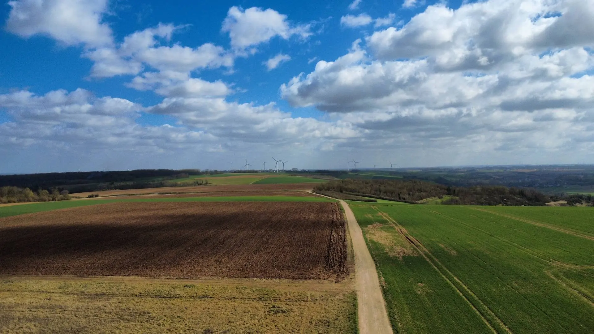
Champs à perte de vue. Spot très sympa pour de belles photos videos
Restrictions here· 03
1 active rule
  • [LF][PRN 025] COTEAUX DE WAVRANS-SUR-L'AAAerodrome / other · No-fly
Wed, Nov 11
2:07 AM
Conditions
Sunrise
Sunset
Precipitations
Temperature
KP index
Cloud cover
Wind speed
Wind gust
Visibility
Humidity
Satellites
DroneSpot Pro

Plan your flights in advance and find your windows with access to detailed 10-day forecasts showing conditions, satellites, wind, kp index, and more.