1. Home
  2. France
  3. Centre-Val de Loire
  4. Saint-Lubin-des-Joncherets
Saint-Lubin-des-Joncherets

Plateau

Coordinates48.75172, 1.20378
Published byvision-drone
27 Apr 2026 · 05:31 AM
Community score
0

Log in to vote

Categories
🌳 Arbres
Aviation weather· 04
Comments· 05

No comments yet. Be the first!

Log in to comment

Nearby spots· 06
  • Étang de Saint Rémy sur AvreSaint-Rémy-sur-Avre3.1 km
  • Aqueduc de l'AvreMontreuil13.2 km
  • Château de ChambrayMesnils-sur-Iton17.5 km
  • Pacy sur Eure / MenillesPacy-sur-Eure32 km
  • Château de maintenonMaintenon33.2 km
  • Aqueduc de MaintenonMaintenon33.2 km
  • Etang de hollandLes Bréviaires43.7 km
  • Vallée de l’eureVironvay51.1 km
Live wind· 07
Windy
Plateau
Pilot briefing
Difficulty
2/3
Medium
Accessibility
2/3
Moderately accessible
Description

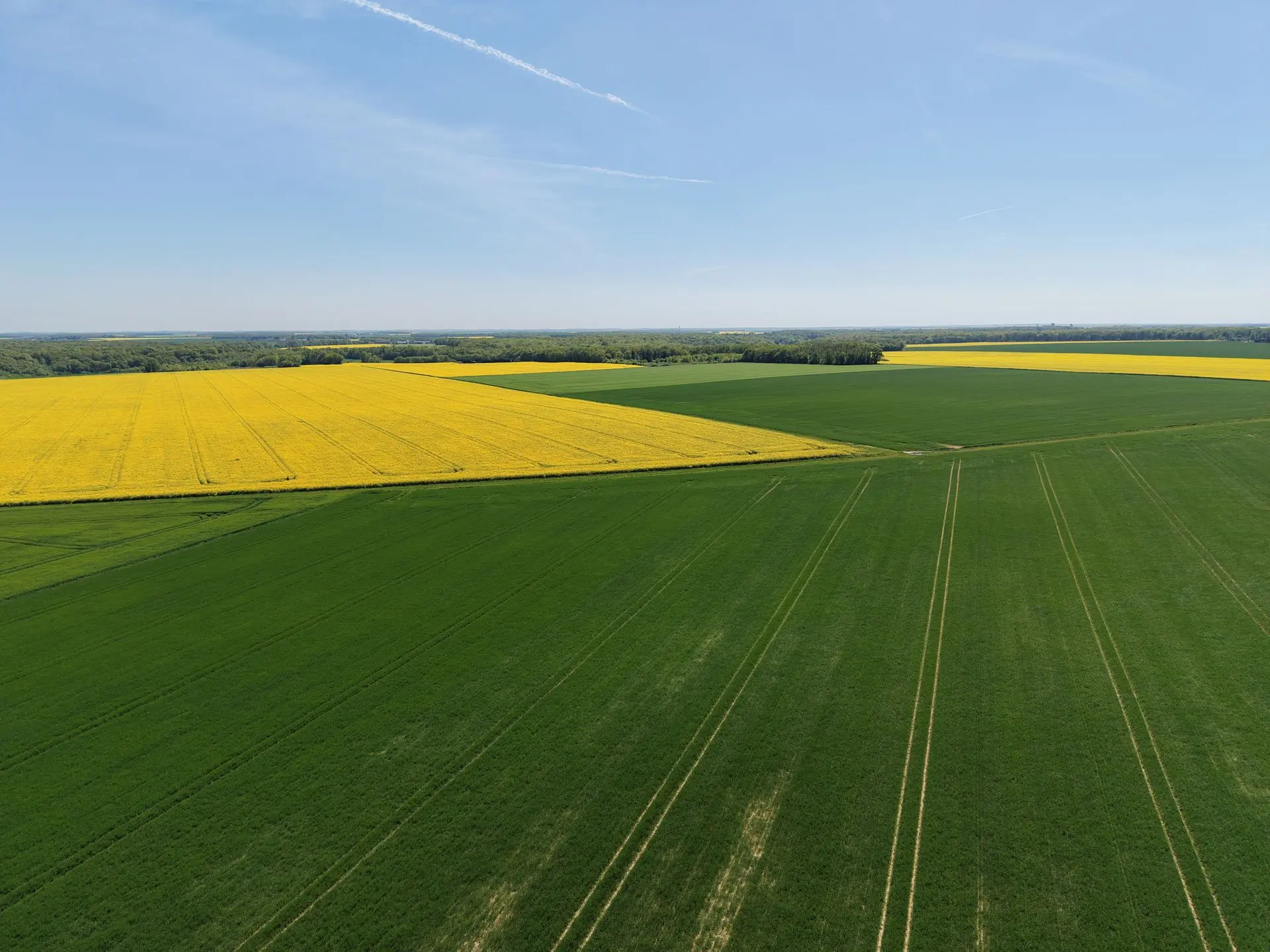
grande zone sans obstacle avec champs et forêt endroit idéal pour entraînement ou pour débutant.
Restrictions here· 03
1 active rule
  • [LF][VOLTAC GIH]Aerodrome / other · No-fly
Tue, Nov 10
5:50 PM
Conditions
Sunrise
Sunset
Precipitations
Temperature
KP index
Cloud cover
Wind speed
Wind gust
Visibility
Humidity
Satellites
DroneSpot Pro

Plan your flights in advance and find your windows with access to detailed 10-day forecasts showing conditions, satellites, wind, kp index, and more.