1. Home
  2. France
  3. Bouches-du-Rhône
  4. Martigues
Martigues

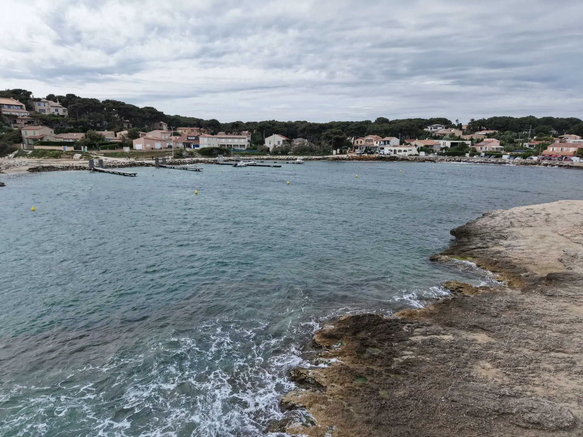
Les tamaris

Coordinates43.32889, 5.08028
Published byBrunoAUDI
03 May 2026 · 07:13 PM
Community score
0

Log in to vote

Categories
🌊 Plan d'eau
Aviation weather· 04
Comments· 05

No comments yet. Be the first!

Log in to comment

Nearby spots· 06
  • Calanque des eaux saléesCarry-le-Rouet8.5 km
  • Port de la VesseLe Rove14.7 km
  • Fort de NiolonLe Rove15.4 km
  • Fort de NiolanLe Rove15.5 km
  • Les terres rouges de VitrollesVitrolles21.2 km
  • Usine de Saint ChamasSaint-Chamas22 km
  • Pointe rougeMarseille24.7 km
  • La roue du pradoMarseille25.1 km
Live wind· 07
Windy
Les tamaris
Pilot briefing
Difficulty
2/3
Medium
Accessibility
2/3
Moderately accessible
Description

Le temps n'était pas terrible mais joli vol
Can I fly here?· 03

Prohibited

At least one restriction prohibits flying at this spot.

Max height : —

  • [LF][CTR ISTRES]Prohibited

    No-fly zone from the ground up.

  • [LF][P 230 L] LA COURONNEProhibited

    No-fly zone from the ground up.

  • [LF][R 217 /1.2] ISTRESProhibited

    Zone active under its published schedule. You can fly there with the approval of its operator.

  • No-fly areaProhibited

    The DGAC restrictions map prohibits flying here.

  • NOTAM W2493/26No known restriction

    NOTAM in force at this spot. Read it before flying.

A local order (prefecture, town hall) may also restrict flying. Stay alert on site.

Computed on November 16 at 07:41 PM

See on the map
Mon, Nov 16
6:41 PM
Conditions
Sunrise
Sunset
Precipitations
Temperature
KP index
Cloud cover
Wind speed
Wind gust
Visibility
Humidity
Satellites
DroneSpot Pro

Plan your flights in advance and find your windows with access to detailed 10-day forecasts showing conditions, satellites, wind, kp index, and more.