1. Home
  2. France
  3. Provence-Alpes-Côte d'Azur
  4. Roquefort-la-Bédoule
Roquefort-la-Bédoule

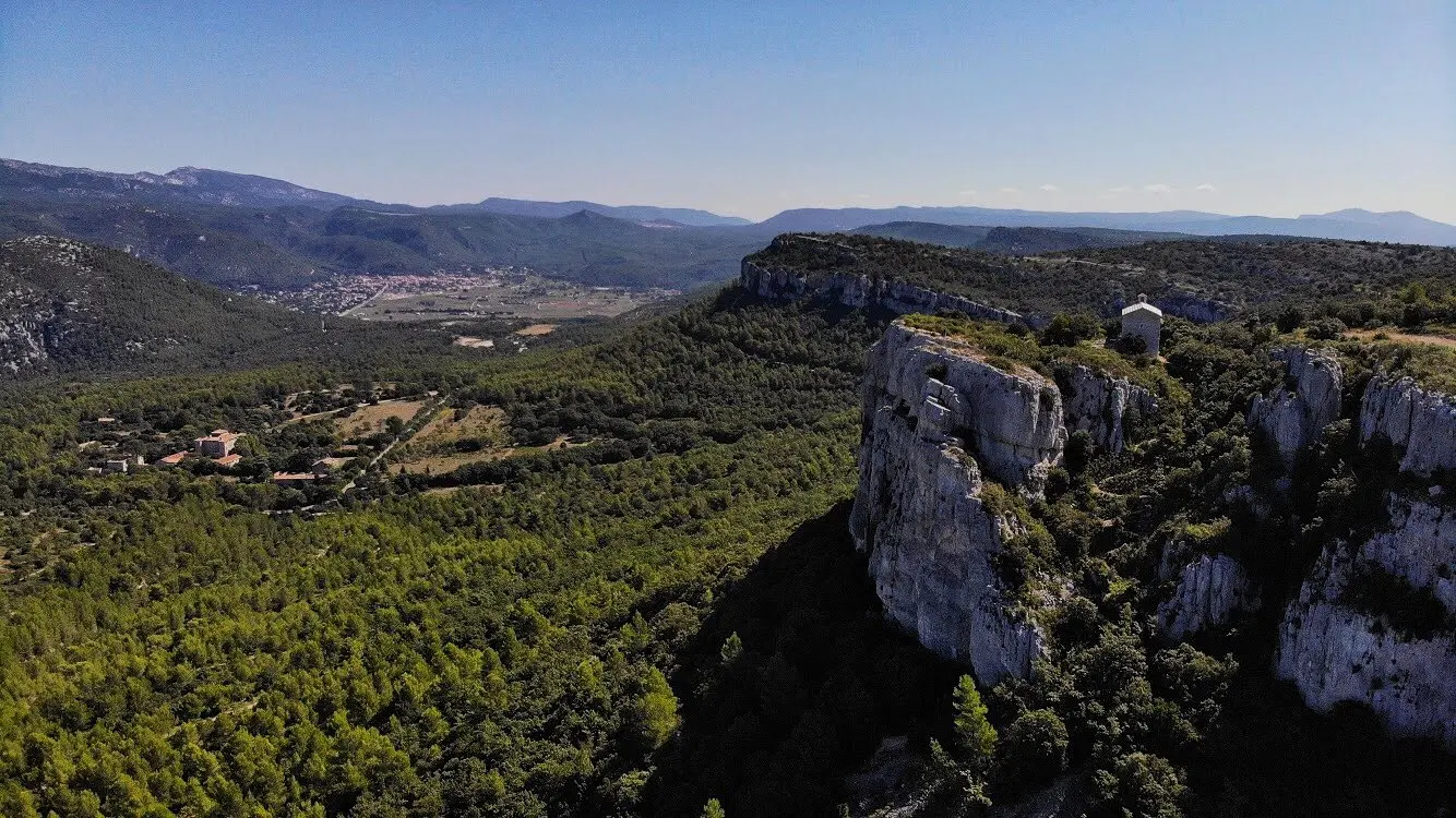
Chapelle Saint André

Coordinates43.25183, 5.64287
Published byVisiteur web
14 Jan 2019 · 12:00 AM
Community score
0

Log in to vote

Aviation weather· 04
Comments· 05

No comments yet. Be the first!

Log in to comment

Nearby spots· 06
  • Route de la Sainte BaumeGémenos6.4 km
  • Lespigoulier Gémenos6.4 km
  • Plage de saint jean La Ciotat7.1 km
  • CampingLa Ciotat7.1 km
  • Chapelle Saint ClairGémenos7.3 km
  • Col de l'espigoulierAuriol7.5 km
  • Lespigoulier Auriol7.9 km
  • La Candole La Penne-sur-Huveaune10.8 km
Live wind· 07
Windy
Chapelle Saint André
Pilot briefing
Difficulty
1/3
Beginner
Accessibility
1/3
Easy to access
Description

Très beau spot accessible en 30min depuis la résidence « les Bastides »
Restrictions here· 03
2 active rules
  • Piste 12/30 aérodrome LE CASTELLET LFMQAerodrome / other · authorisation required from ground
  • WUActive now
Mon, Nov 9
7:43 PM
Conditions
Sunrise
Sunset
Precipitations
Temperature
KP index
Cloud cover
Wind speed
Wind gust
Visibility
Humidity
Satellites
DroneSpot Pro

Plan your flights in advance and find your windows with access to detailed 10-day forecasts showing conditions, satellites, wind, kp index, and more.