1. Home
  2. France
  3. Provence-Alpes-Côte d'Azur
  4. Bouches-du-Rhône
  5. Auriol
Auriol

Col de l'espigoulier

Coordinates43.31776, 5.66442
Published bydrone_my_life
02 Mar 2018 · 12:00 AM
Community score
0

Log in to vote

Categories
📡 Long range🌳 Arbres
Aviation weather· 04
Comments· 05

No comments yet. Be the first!

Log in to comment

Nearby spots· 06
  • Lespigoulier Auriol< 1 km
  • Lespigoulier Gémenos1.2 km
  • Route de la Sainte BaumeGémenos1.3 km
  • Chapelle Saint ClairGémenos3.5 km
  • Vallon de BasseronAuriol3.6 km
  • Chapelle Saint AndréRoquefort-la-Bédoule7.5 km
  • La Sainte BaumeRiboux8.6 km
  • GarlabanAubagne9.5 km
Live wind· 07
Windy
Col de l'espigoulier
Pilot briefing
Difficulty
1/3
Beginner
Accessibility
3/3
Difficult to access
Description

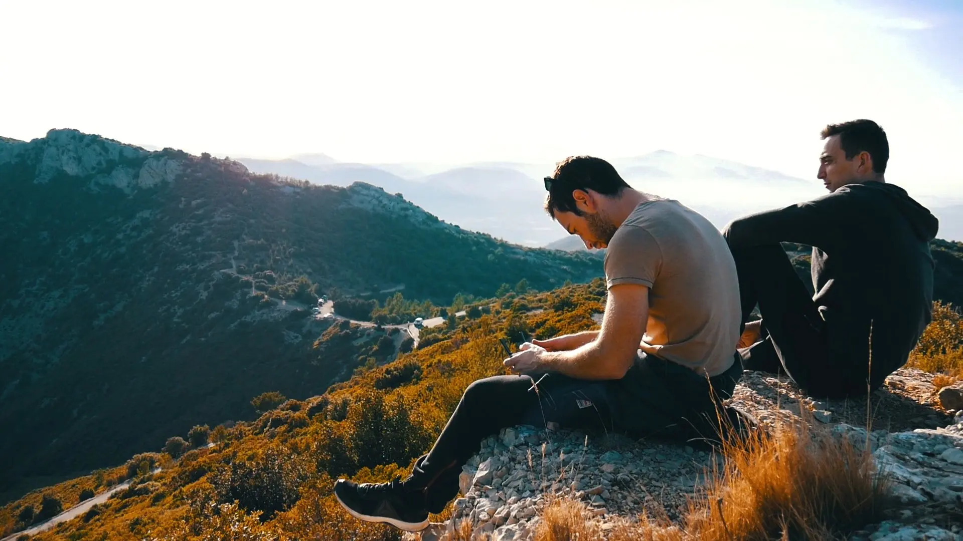
Très beau spot et facile au pilotage mais attention à la restriction des 50 mètres de haut
Can I fly here?· 03

Flight allowed

No regulated zone at this spot. Fly up to 120 m, in daylight, with your drone in sight, away from people.

Max height : 120 m

  • [LF][VOLTAC LUC]No known restriction

    Military training sector, inactive at that time: nothing to do.

  • Massif de la Sainte-BaumeNo known restriction

    Protected area with no known overflight ban. Respect wildlife and plants.

  • Sainte-Baume occidentaleNo known restriction

    Protected area with no known overflight ban. Respect wildlife and plants.

A local order (prefecture, town hall) may also restrict flying. Stay alert on site.

Computed on November 22 at 11:05 PM

See on the map
 
--:--
Conditions
Sunrise
Sunset
Precipitations
Temperature
KP index
Cloud cover
Wind speed
Wind gust
Visibility
Humidity
Satellites
Drone Spot Pro

Plan your flights in advance and find your windows with access to detailed 10-day forecasts showing conditions, satellites, wind, kp index, and more.