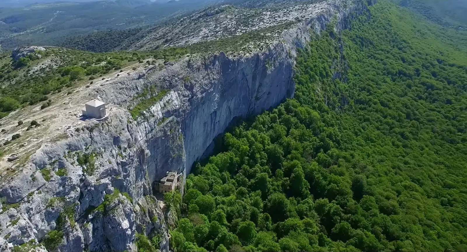
Très sympa, la forêt est incroyable, l'église dans la grotte aussi. Concernant le drone c'est top mais l'ambiance du paysage n'est pas très variée pour des plans de drone
No comments yet. Be the first!
Très sympa, la forêt est incroyable, l'église dans la grotte aussi. Concernant le drone c'est top mais l'ambiance du paysage n'est pas très variée pour des plans de drone
Conditional: operator approval
You can fly with the approval of the zone operator.
Max height : 60 m
Flying requires the approval of: Organisme fournissant le service de contrôle de la circulation aérienne, à défaut, prestataire du service d'information de vol de l'aérodrome, à défaut, exploitant de l'aérodrome.
The DGAC restrictions map limits flight height to 60 m.
Military training sector, inactive at that time: nothing to do.
Protected area with no known overflight ban. Respect wildlife and plants.
A local order (prefecture, town hall) may also restrict flying. Stay alert on site.
Computed on November 15 at 07:25 PM
See on the mapPlan your flights in advance and find your windows with access to detailed 10-day forecasts showing conditions, satellites, wind, kp index, and more.