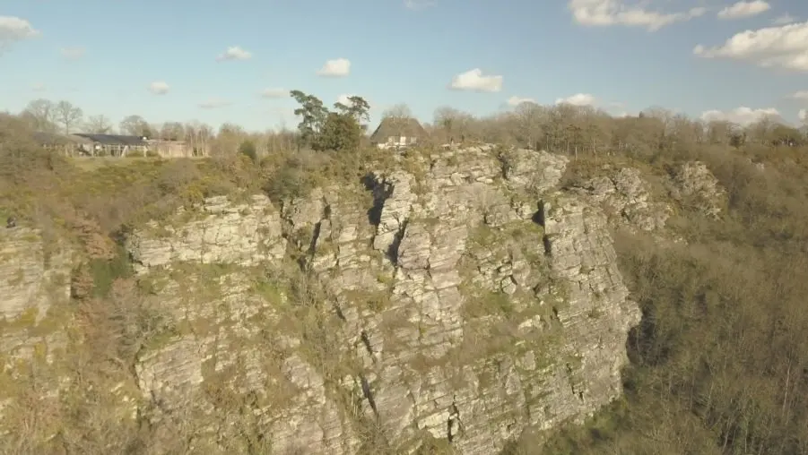
La Roche d'Oëtre est située en plein cœur de la Suisse-Normande, sur la commune de Saint-Philbert-sur-Orne. Très bon endroit pour voler, grand dégagement, l'une des plus belles vues panoramique de l'ouest de la France.
No comments yet. Be the first!
La Roche d'Oëtre est située en plein cœur de la Suisse-Normande, sur la commune de Saint-Philbert-sur-Orne. Très bon endroit pour voler, grand dégagement, l'une des plus belles vues panoramique de l'ouest de la France.
Flight allowed
No regulated zone at this spot. Fly up to 120 m, in daylight, with your drone in sight, away from people.
Max height : 120 m
Military training sector, inactive at that time: nothing to do.
Protected area with no known overflight ban. Respect wildlife and plants.
A local order (prefecture, town hall) may also restrict flying. Stay alert on site.
Computed on November 20 at 07:52 PM
See on the mapPlan your flights in advance and find your windows with access to detailed 10-day forecasts showing conditions, satellites, wind, kp index, and more.