1. Home
  2. Australie
  3. Nouvelle-Galles du Sud
  4. Wollongong
Wollongong

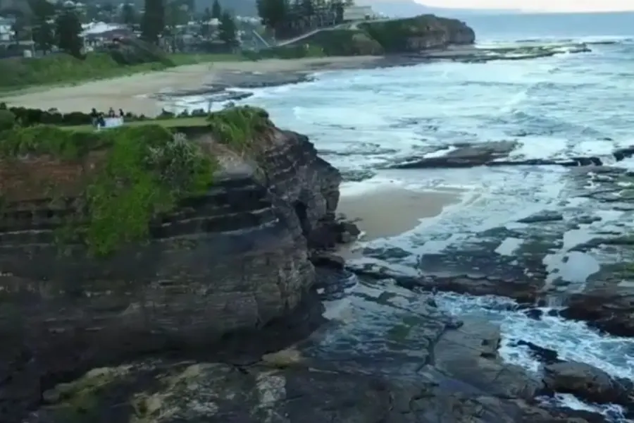
Austinmer - Wollongong City Council

Coordinates-34.30544, 150.93756
Published byVisiteur web
02 May 2019 · 06:49 PM
Community score
0

Log in to vote

Categories
🌊 Plan d'eau
Aviation weather· 04
Comments· 05

No comments yet. Be the first!

Log in to comment

Nearby spots· 06
  • Wollongong City Council - New South WalesCoalcliff7.4 km
  • Campbelltown City Council - New South WalesSt Helens Park25.8 km
  • Campbelltown - Campbelltown City CouncilSydney28.2 km
  • Campbelltown - Campbelltown City CouncilSydney29.8 km
  • Killalea Drive - Shell CoveWollongong33.3 km
  • Dunmore - Shellharbour City CouncilDunmore36.3 km
  • Mittagong - Wingecarribee Shire CouncilMittagong46.7 km
  • Smithfield - Cumberland CouncilSydney50.9 km
Live wind· 07
Windy
Austinmer - Wollongong City Council
Pilot briefing
Difficulty
2/3
Medium
Accessibility
3/3
Difficult to access
Description

Restrictions here· 03

No known restrictions at this point.

Always cross-check before flying — coverage depends on your country's published data.

Wed, Nov 11
8:14 PM
Conditions
Sunrise
Sunset
Precipitations
Temperature
KP index
Cloud cover
Wind speed
Wind gust
Visibility
Humidity
Satellites
DroneSpot Pro

Plan your flights in advance and find your windows with access to detailed 10-day forecasts showing conditions, satellites, wind, kp index, and more.