1. Home
  2. France
  3. Île-de-France
  4. Maurepas
Maurepas

Entraînement en champ libre

Coordinates48.77701, 1.91255
Published bymimout78
05 Jan 2026 · 10:23 AM
Community score
0

Log in to vote

Categories
🌊 Plan d'eau📡 Long range
Aviation weather· 04
Comments· 05

No comments yet. Be the first!

Log in to comment

Nearby spots· 06
  • Le grand etangMaurepas< 1 km
  • ferme du mousseauÉlancourt3.5 km
  • Colline de la revancheÉlancourt4.3 km
  • SQY Drone (Club de drone)Trappes6.5 km
  • Etang de hollandLes Bréviaires9.9 km
  • Chemin de la Chapelle - RennemoulinRennemoulin11.3 km
  • Route du viviers aux MoinesSaint-Nom-la-Bretèche11.3 km
  • Chemin parallèle proche RennemoulinNoisy-le-Roi12.7 km
Live wind· 07
Windy
Entraînement en champ libre
Pilot briefing
Difficulty
2/3
Medium
Accessibility
2/3
Moderately accessible
Description

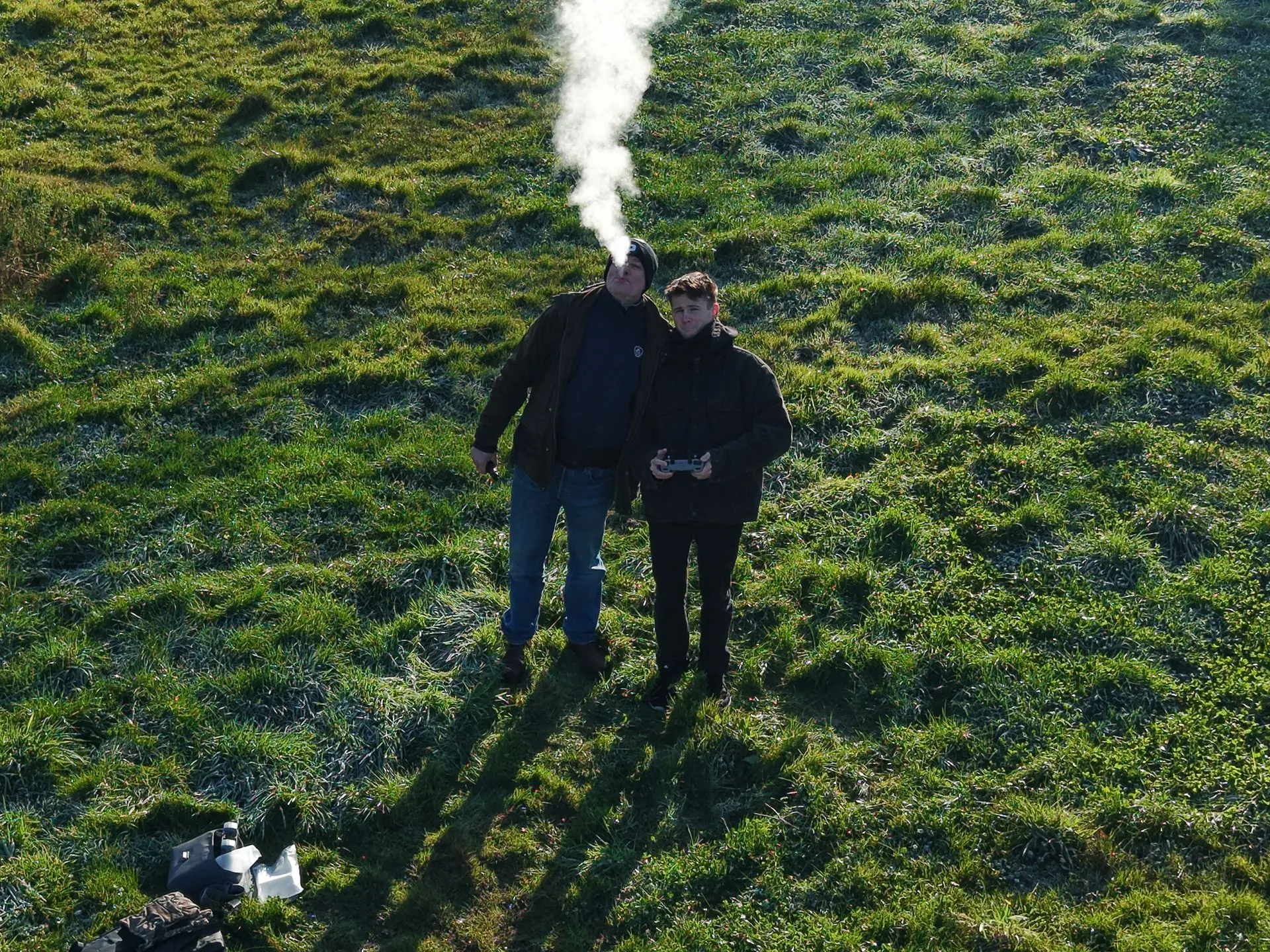
Parking à 200 mètres, 2 champs de plus de 400 mètres de chaque côté.
Restrictions here· 03
2 active rules
  • [LF][R 324] VEILLE REGION PARISIENNERestricted · No-fly
  • [LF][VOLTAC GIH]Aerodrome / other · No-fly
Tue, Nov 10
5:05 PM
Conditions
Sunrise
Sunset
Precipitations
Temperature
KP index
Cloud cover
Wind speed
Wind gust
Visibility
Humidity
Satellites
DroneSpot Pro

Plan your flights in advance and find your windows with access to detailed 10-day forecasts showing conditions, satellites, wind, kp index, and more.